Airborne LiDAR
Geospatial Solutions for accurate and timely decision making
Airborne Imaging Inc. is a Barr GeoSpatial Solutions Company. Visit our BGS website to see the full range of products and services we offer: barrgeospatial.com
Airborne LiDAR
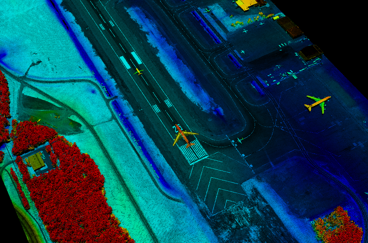
Light Detection and Ranging (LiDAR) is a proven approach to creating fast and accurate terrain models for applications in many types of industries. The technology is based on a scanning laser combined with both GPS and inertial technology to create a three dimensional set of points (point cloud).
From a robust LiDAR data set, Airborne lasers can create a number of mapping products for its clients:
- Digital Elevation Models (DEM)
- Digital Terrain Models (DTM)
- Contours of varying intervals
- Slope maps
- Planimetric Mapping
- Tree height analysis
- Cut and Fill modeling
- Ortho-rectification in combination with imagery
About Airborne Imaging’s LiDAR technology
Airborne Imaging has been a leading provider of airborne LiDAR since its inception in 2004. The company made it a priority from the outset to use only commercial, off the shelf LiDAR systems from the best manufacturers in the world.
Today, Airborne owns and operates eleven (11) LiDAR sensors and two medium format cameras for our collection projects. In addition, we also collect large scale imagery projects using large format RGB-NIR cameras with our partners strategically located throughout North America.
All programs are performed using twin engine and single engine turbine aircraft and maintain a stringent safety and aviation safety management system unparalleled in the geospatial industry.
To date, Airborne has acquired hundreds of thousands of square miles and tens of thousands of linear corridor miles of Airborne LiDAR data throughout North America.
Regardless of point density or accuracy, Airborne has the experience and knowledge to flight plan, field execute, post process and deliver a final map standard LiDAR terrain product to our clients.
All processing of data is handled by our senior in-house processing team, and quality control and assurance is some of the most stringent in the LiDAR acquisition industry today